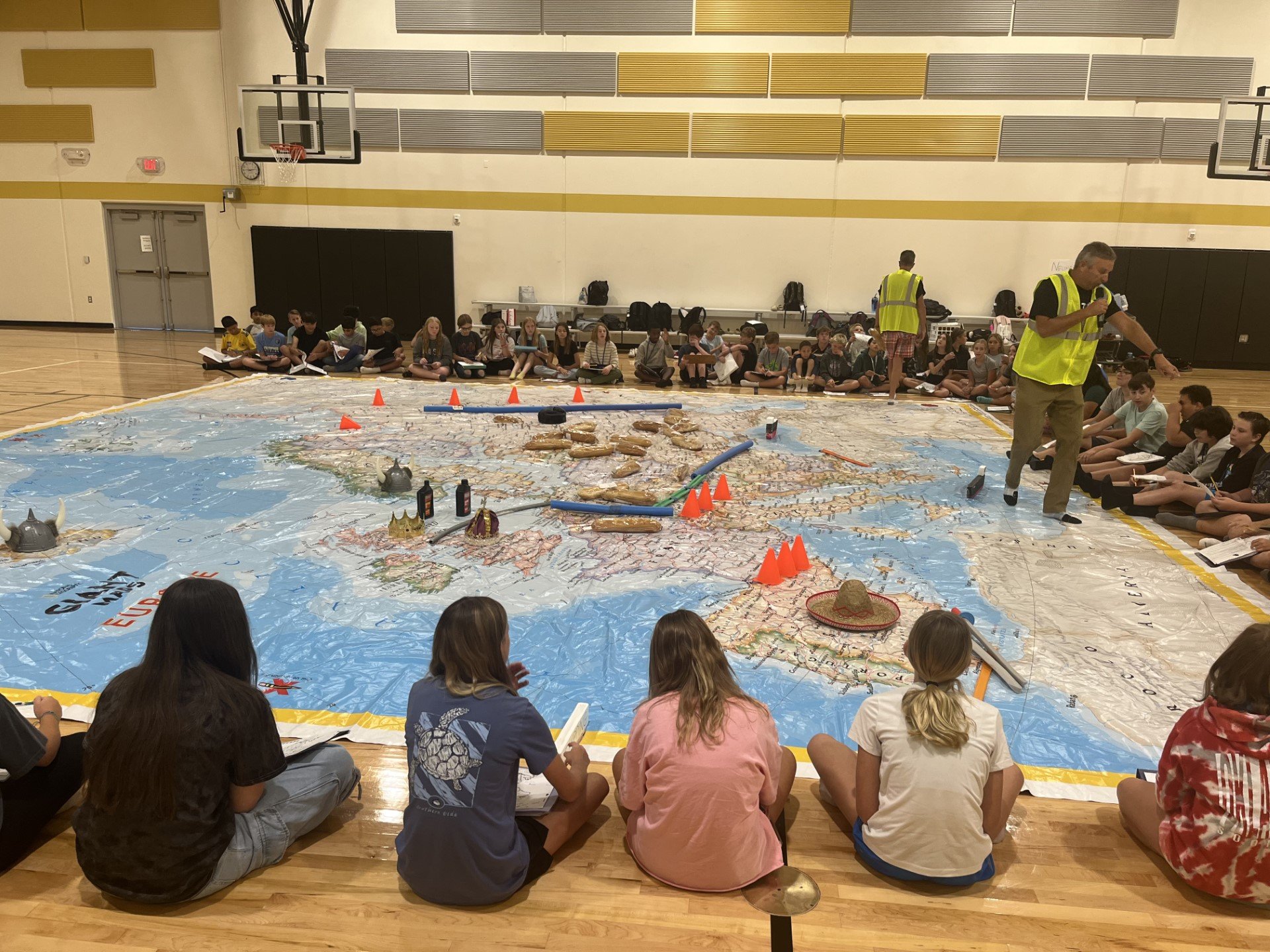
Europe Giant Traveling Map
The Europe Giant Map measures 30 by 30 feet.
Europe Giant Map Lesson Plans

"Where Could I Bee" - Europe
This activity contains approximately 80 riddles about countries in Europe. These may be used as bell ringers, in conjunction with the Giant Map of Europe, or to enrich other activities. Click or tap on the image to access the lesson.

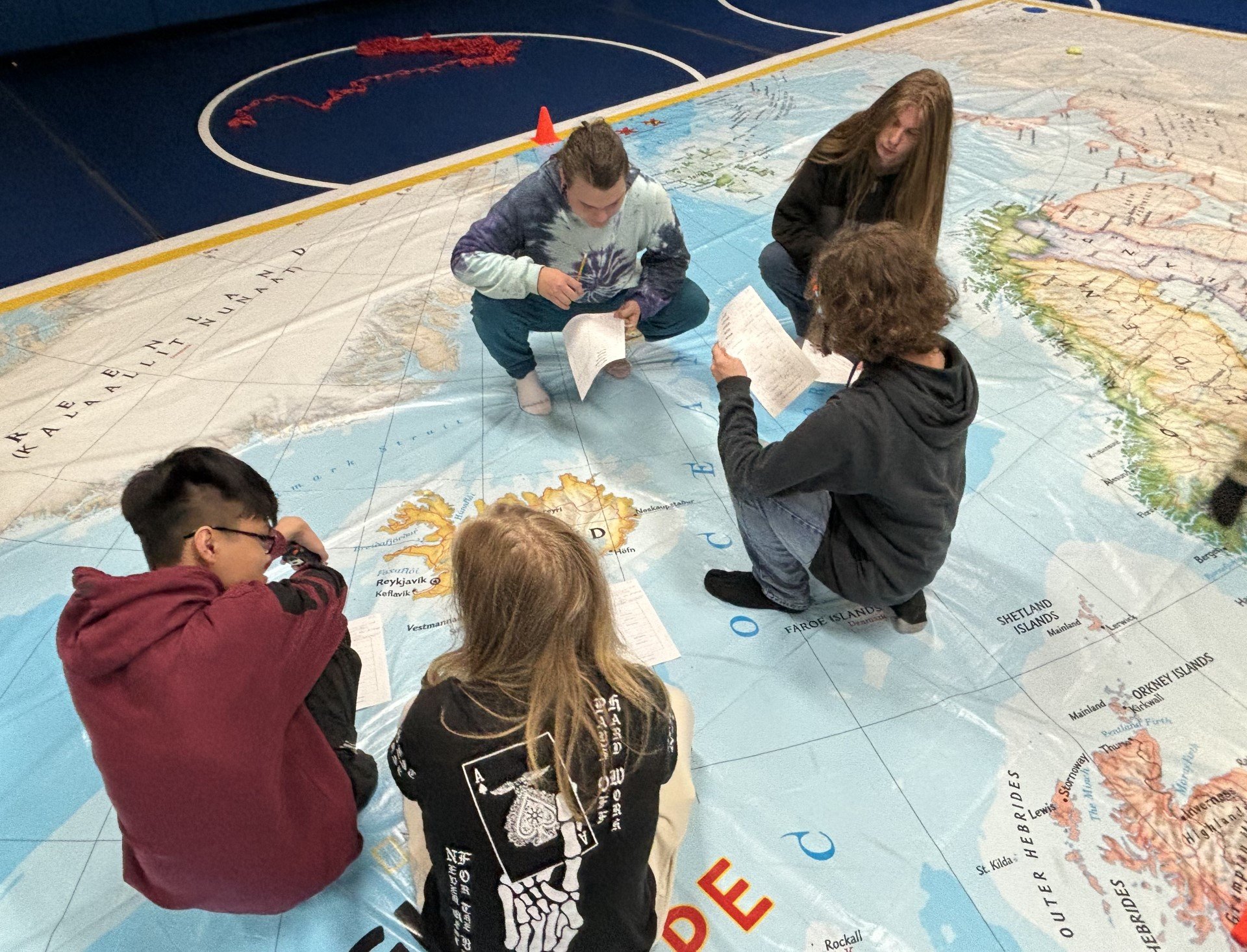
Using the Europe Giant Map to Plan a Backpacking Journey
This is an interactive and engaging lesson designed to provide students with a comprehensive understanding of the European Union, the cultural touchstone of backpacking, and the geographical layout of European cities. The lesson involves reading, researching, and planning a backpacking journey through Europe. It is a hands-on activity that encourages students to apply their knowledge of geography, culture, and history to create a unique travel itinerary. Click or tap on the image to access the lesson.

Understanding Immigration Using the National Geographic Giant Traveling Map of Europe
Students will conduct their own research on European countries and use the Giant Map of Europe to examine immigration patterns and challenges. Click or tap on the image to access the lesson.

National Geographic Resources
Click or tap on the image to access the lessons.