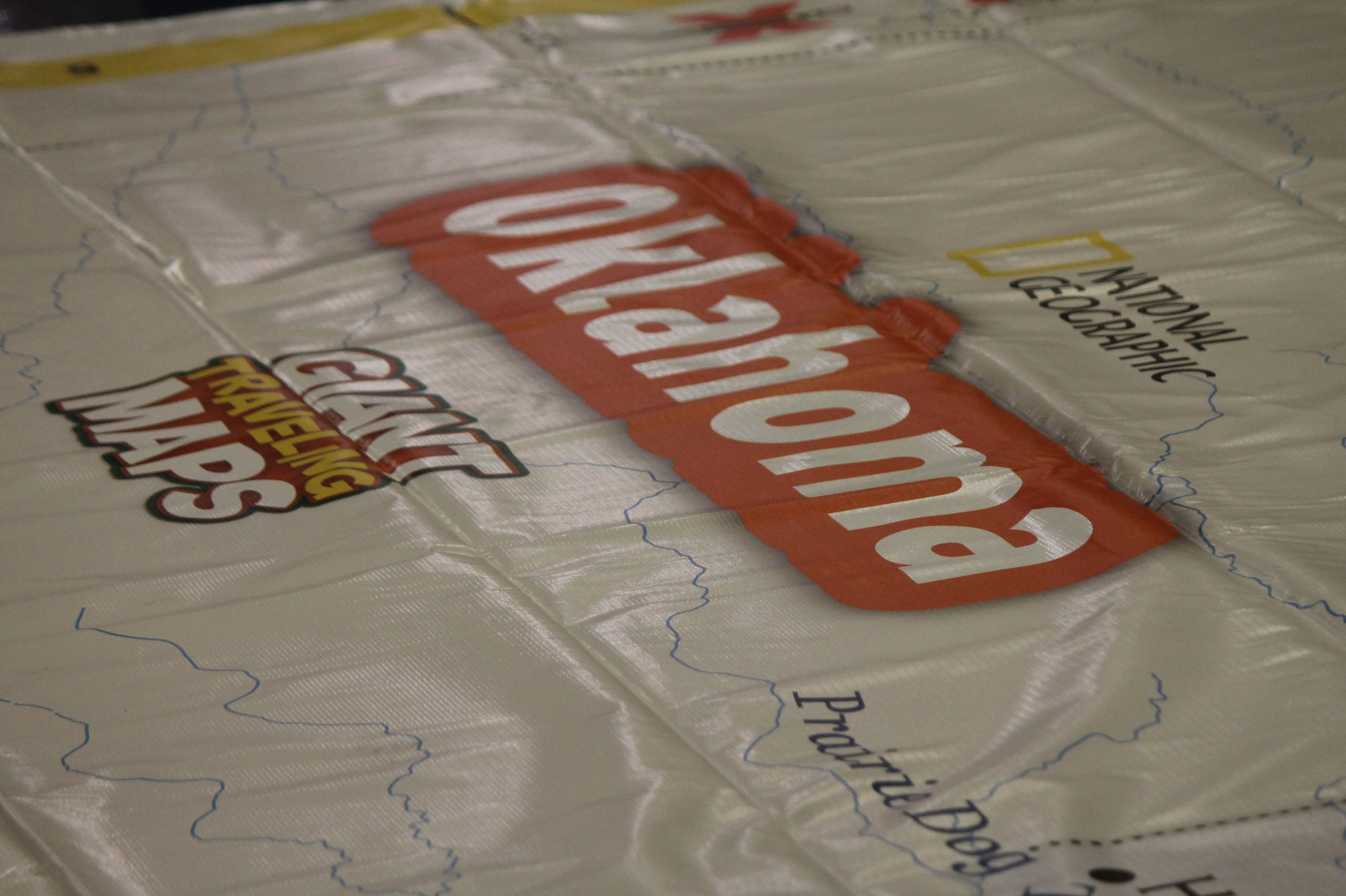
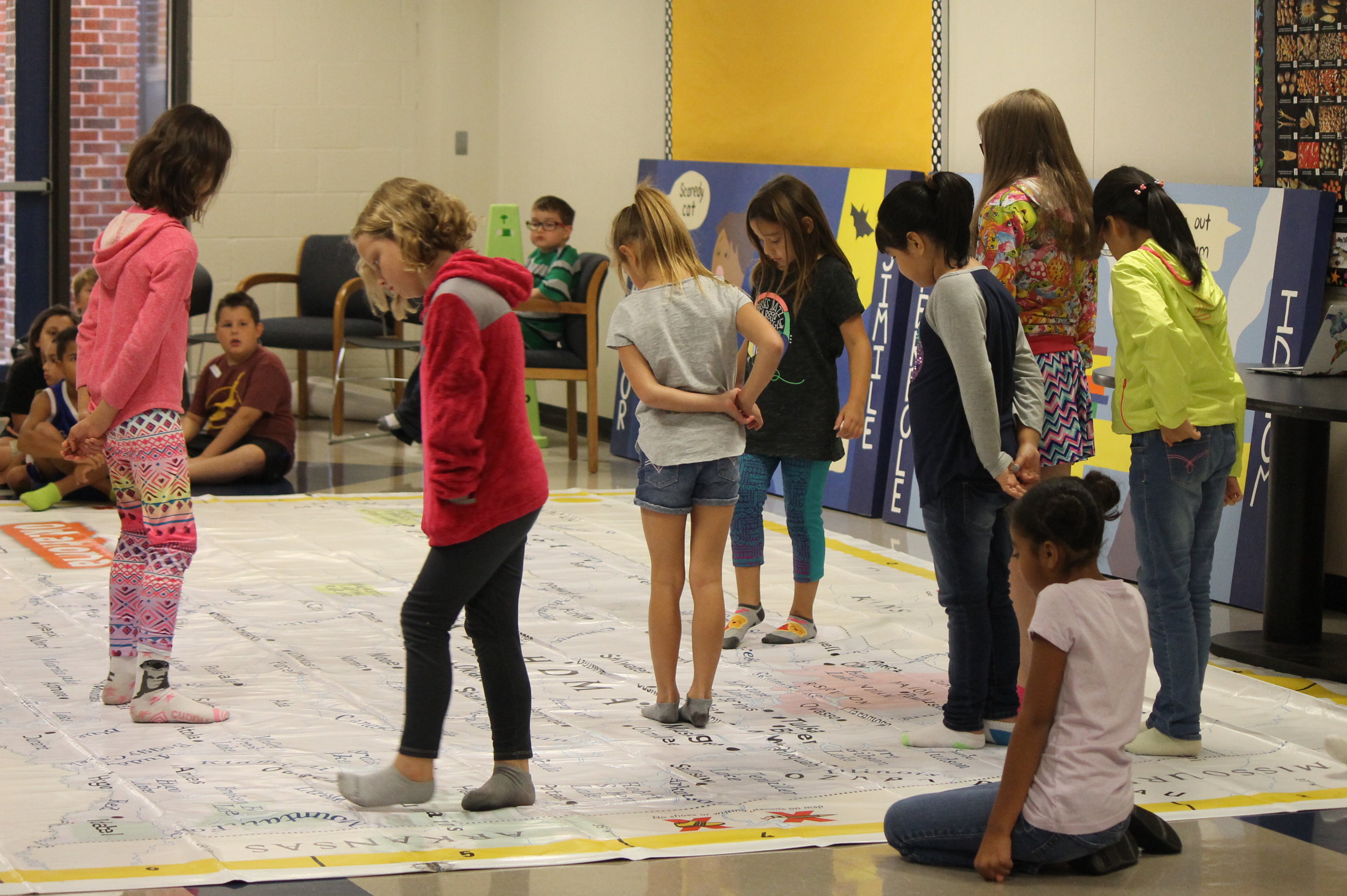
Oklahoma Giant Traveling Map
The Oklahoma Giant Map measures 21 by 15 feet.
Oklahoma Giant Map Lesson Plans

Using Giant Floor Maps to Understand Bald Eagle Populations
In this lesson, students will use the Oklahoma or North America Giant Floor Map to explore where bald eagles can be found, what the requirements are for a healthy habitat, and how their habitats are affected by human activity. Click or tap on the image to access the lesson.

Using the Oklahoma Floor Map to Explore Public Lands
This lesson is designed to introduce students to different types of public lands in Oklahoma. These include National Recreation Areas, Wildlife Refuges, and State Parks. Students will learn where these parks are located, why they are established, and the activities they can do while there. Click or tap on the image to access the lesson.

Using the Oklahoma Giant Map to Understand the Heavy Consequences of Light Pollution
This lesson is designed as a template to introduce the Giant Traveling Map of Oklahoma and provide examples of how this map may be used to enrich instruction in a variety of subjects including Science, Mathematics, English Language Arts, and Social Studies. The content presented in this lesson was selected as an illustrative example of how all subjects are used to understand a particular issue which impacts communities differently around the world and in Oklahoma. Click or tap on the image to access the lesson.

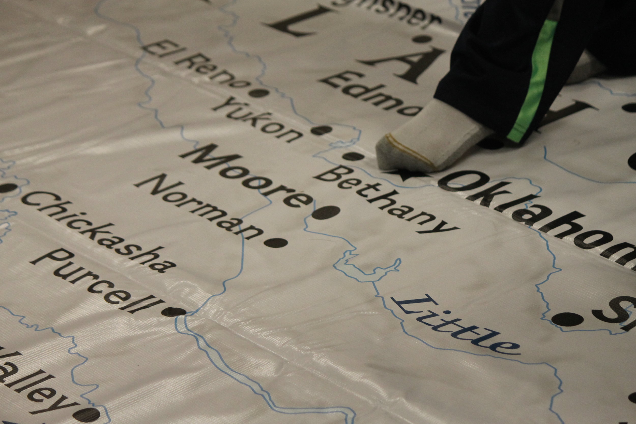
Exploring Oklahoma’s Cities on the Giant Map
This activity is designed to help students identify some of Oklahoma’s major cities on the map. Students will be introduced to coordinates and will use them to identify these locations. By exploring on the Giant Map, students will also become more familiar with cities across Oklahoma while growing their perspective of the world around them. Click or tap on the image to access the lesson.

I’m on the Top of the World Looking Down on Creation: Using the Oklahoma Giant Map to Enhance the Geo-Inquiry Process
The class will examine the Tulsa Race Massacre and develop a relevant Geo-Inquiry question together which is centered around the impacts of this historical event. The Geo-Inquiry process leads students to think through complexities of the world and make connections that empower them to change their communities. After a question is developed, students will be divided into teams in order to create a division of tasks - e.g., -Data Collection, Visualization, Story-Telling, etc. Click or tap on the image to access the lesson.

Mapping STEM in Oklahoma - Giant Map Edition
The purpose of this lesson is to allow students to explore the connection between Geography and other curriculum areas by utilizing the OKAGE Giant Map Program. Students will identify key geographic features and landmarks on the Giant Map then make connections between these features and other curriculum areas. Click or tap on the image to access the lesson.

We Got Cows (and Quakes)
The objective of this lesson is to introduce students to natural disasters, which ones occur in the state of Oklahoma, and their aftermath. Students will analyze the spatial patterns of natural disasters in the state using the Giant Traveling Map of Oklahoma. Students will also learn the effects of natural disasters on people and how the government responds. Click or tap on the image to access the lesson.

Oklahoma Giant Traveling Map Escape Room
Students will answer questions in an escape room format using the Oklahoma Giant Traveling Map. Click or tap on the image to access the lesson.

Oklahomans on the Move
Students will use the Giant Traveling Map of Oklahoma to explore the state’s population distribution—past and present. Click or tap on the image to access the lesson.

Who? What? Where? Oklahomans Who Made a Difference
In this lesson, students will use the Oklahoma Giant Traveling Map to identify and gain a better understanding of notable historic and present day Oklahomans who made significant contributions to the state. Click or tap on the image to access the lesson.

It Happened in Oklahoma! Historically Significant State and Local Landmarks
In this lesson, students will use the Oklahoma Giant Traveling Map to identify and locate important state and local landmarks, as well as gain a better understanding of their historical significance. Click or tap on the image to access the lesson.

Resources and Population Patterns: What's the Connection?
Students will analyze data including a variety of special purpose maps of Oklahoma to determine the reason for population growth and decline in specific areas. The Giant Traveling Map of Oklahoma is used to help students understand the changing population distribution across Oklahoma. Click or tap on the image to access the lesson.

The Oklahoma Standard: Tornados
Students will develop an understanding of how tornados form. Identify and locate the cities where the top 10 worst tornados in Oklahoma occurred on the Giant Map of Oklahoma. They will specifically gather and analyze data from the Moore, Oklahoma 2013 tornado site using geospatial technology. Click or tap on the image to access the lesson.

Immigration & Ethnic Settlement Patterns In Post-Reconstruction Oklahoma, 1865 - 1900
In this lesson students will explore the different immigration and migration patterns of settlement in post-reconstruction Oklahoma, and develop an appreciation of our rich cultural and ethnic heritage. Click or tap on the image to access the lesson.

I Have Heard of a Land: Using Oklahoma’s Giant Traveling Map, with Historical Maps, to Tell a Complete Story
Geography is the landscape on which History happens. In this lesson, students will use an award-winning historical fiction picture book, the Oklahoma Giant Traveling Map, and a series of Oklahoma historical maps, to gain a better understanding of why Blacks from the South, single women, and other pioneers came to participate in the land runs, as well as the impact on Native Americans already living in the areas. Students will gain an appreciation and understanding that history usually has more than one perspective to events happening. Click or tap on the image to access the lesson.

Oklahoma Route 66 Must-See Attractions
Whatever it is, the way you tell your story online can make all the difference. Students will discover the Mother Road, Route 66, by analyzing the history of the road, while specifically identifying locations of 10 must-see attractions on the Oklahoma portion by using the Giant Traveling Map of Oklahoma. They will discover the importance of each attraction and will create a presentation on a selected attraction. Click or tap on the image to access the lesson.

National Geographic Resources
Click or tap on the image to access the lessons.